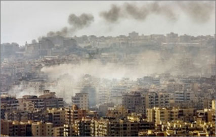
Re: the map and the insert “Destruction of 8 large residential building…”
This does appear to be the same as the location of the Mickey Mouse incident . I couldn’t say 100%, but it’s in pretty much the correct area and the layout, particularly the green area to the left of the buildings makes sense. That green area is I think seen on far left of the “truck” photo .
The hospital (from which I took the photo of the smoke from the buildings) is a small way down a side street on the right of the road that leads from Tyre center to the buildings site , but I couldn’t pinpoint it exactly… We didn’t have any maps then, I’d only recognize it from ground level .